
New ‘National Roads’ dataset released in Digital Atlas of Australia
Have you seen the new National Roads dataset?
Released in the Digital Atlas of Australia, the exciting new dataset offers comprehensive, reliable and up-to-date information on Australia’s road networks, including details that are valuable to the stormwater modelling community like hydrological catchment boundaries, land use maps, street networks and water bodies.
The Digital Atlas of Australia (currently in beta) brings together “curated and trusted national datasets into an interactive, secure and easy-to-use online platform”.
Geoscience Australia explains:
Anyone, anywhere can explore, analyse and visualise data on Australia’s geography, people, economy and environment. By visualising data by location, the Digital Atlas can help us better understand and respond to shared challenges at the local, regional and national levels.
This is the first time that comprehensive data about Australia’s roads has been made freely available and accessible to the public.
View the National Dataset here, or learn more about the Digital Atlas of Australia.
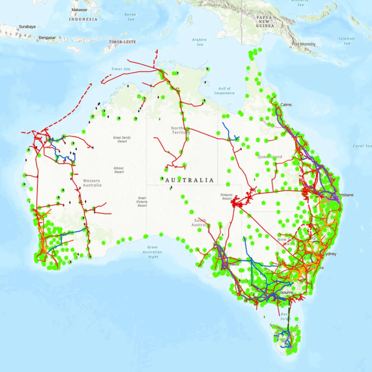
Image of Australia overlaid with data from the National Roads dataset (Digital Atlas of Australia)